The Clarence Plains Environmental Management Plan builds on the previous Clarence Plains Catchment Management Plan and outlines actions to preserve and manage the historic, cultural and environmental values of the area for the next 15 years.
The plan identifies priority areas to enhance the ability of the landscape to sustain the biodiversity it supports. It also seeks to build a shared responsibility among the community and landowners to support the management of priority cultural, social and natural values.
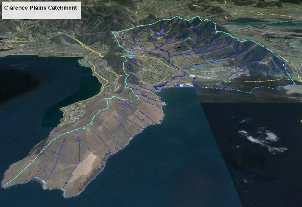
Key recommendations highlighted in the plan include the establishment of a Clarence Plains Catchment Committee supported by a part-time Project Officer, and the adoption of biodiversity corridors and walking tracks to improve connectivity between the east and west forested hills and along the Clarence Plains Rivulet and Stokell Creek.
“The plan aims to protect and conserve the area’s rich Aboriginal and European history, natural bushland such as the Meehan Range, Howrah and Rokeby Hills, as well as our coastline, like the Clarence Plains Rivulet Saltmarsh which provides habitat for a variety of birds,” Mayor of Clarence, Alderman Chipman said.
“A biodiversity corridor and track network plan has been included to help connect and protect native vegetation greenways in the landscape, as well as increase access and enjoyment of the area by linking new and existing tracks and trails.”
The draft Clarence Plains Environmental Management Plan 2017-2032 has been developed after extensive planning, detailed environmental assessments and consultation with stakeholder groups and presentations at community forums and field days.
The draft plan is available on the Council’s website at www.ccc.tas.gov.au/consultation. Feedback on the plan can be submitted online or in writing by Monday 13 February 2017.
For more information on the plan, contact Phil Watson on 6217 9713 or pwatson@ccc.tas.gov.au.